
Mapping the Eeyou Istchee Coast Together!
Led by Niskamoon Corporation and funded by Fisheries and Oceans Canada, this exciting initiative brings together researchers and community knowledge to better understand our coastal environments.
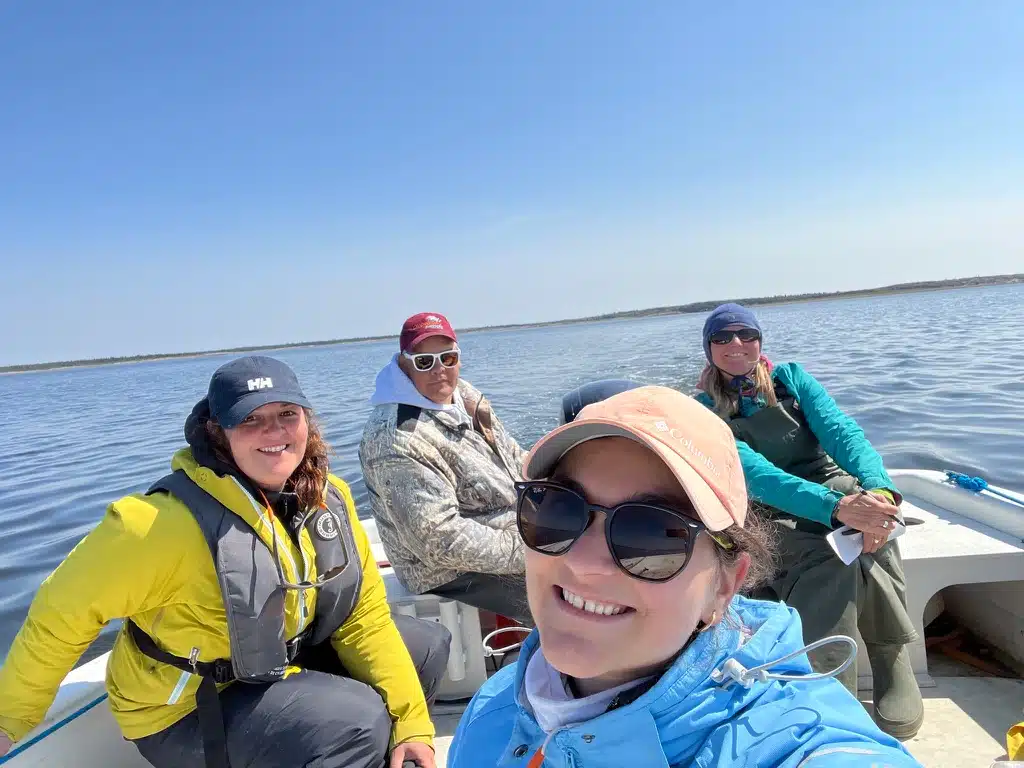
Our partners — UQAR-ISMER, University of Manitoba, and Arctus — are working alongside Cree land users to map water depths (bathymetry) in key coastal areas. These surveys will help verify bathymetry data collected by satellites, improving the accuracy of our coastal maps.
Arctus has mapped shallow coastal waters around Chisasibi and Wemindji using satellite imagery, as part of a CHCRP project funded by Fisheries and Oceans Canada (DFO). You can explore water depths close to shore using these interactive maps, which have largely gone unmapped until now.
Refer to the depths and see how confident the estimates are with the built-in uncertainty layer: https://cloud.cartovista.com/arctus_inc/maps/38c79/Satellite-derived-bathymetry-Niskamoon
Together, we’re charting the way for long-term coastal stewardship — one map at a time! 🗺️
➡️ For more information, check out our StoryMap: storymaps.arcgis.com/stories/3027c28377444bf4ba3745e8021d3490