
Mapping the Eeyou Istchee Coast Together!
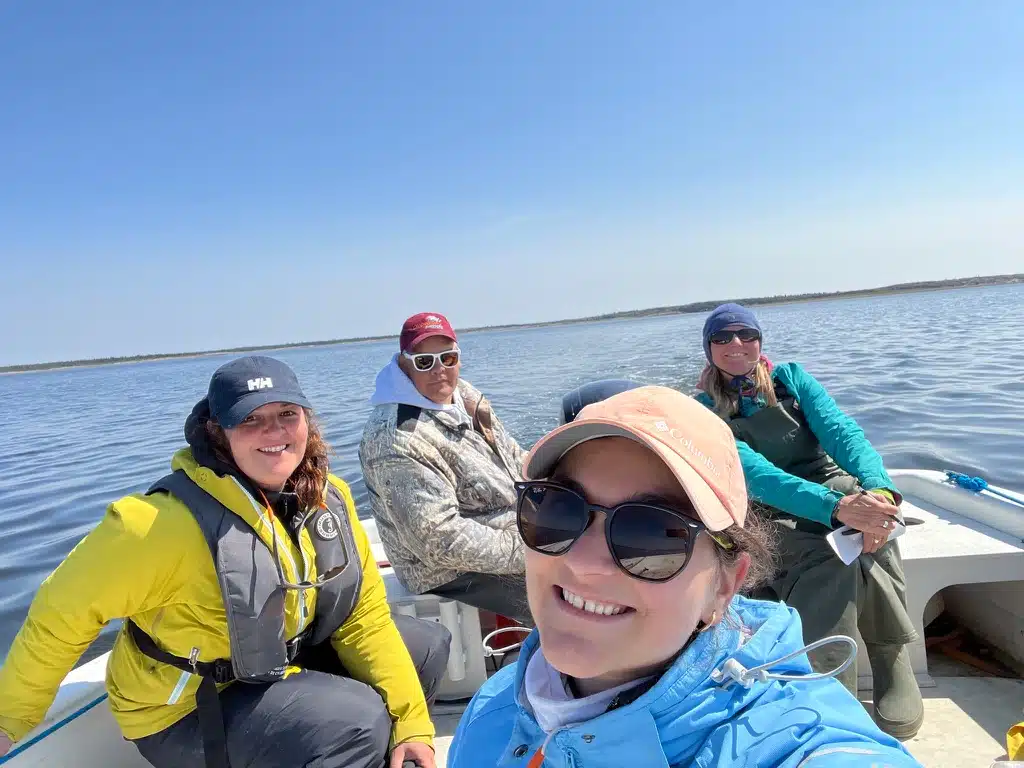
Led by Niskamoon Corporation and funded by Fisheries and Oceans Canada, this exciting initiative brings together researchers and community knowledge to better understand our coastal environments.
Our partners — UQAR-ISMER, University of Manitoba, and Arctus — are working alongside Cree land users to map water depths (bathymetry) in key coastal areas. These surveys will help verify bathymetry data collected by satellites, improving the accuracy of our coastal maps.
Together, we’re charting the way for long-term coastal stewardship — one map at a time! 🗺️
➡️ For more information, check out our StoryMap: storymaps.arcgis.com/stories/3027c28377444bf4ba3745e8021d3490